I visited Antarctica in 2005 and 2006 as part of the ANDRILL (Antarctic Drilling) programme.
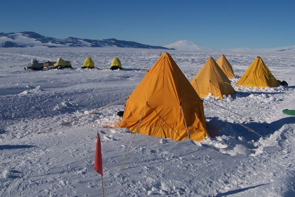
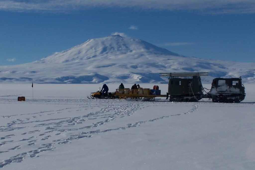
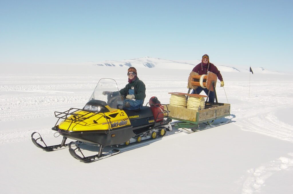
The first visit was as a field assistant, helping with a seismic survey on the McMurdo Ice Shelf (part of the enormous Ross Ice Shelf). This survey was done to find the ideal geological drilling location for the following year’s activities.
The Ross Ice Shelf is a huge expanse of floating ice about 800km across (the size of France). It is fed by glaciers coming off the East and West Antarctic ice sheets. As the ice floats away from the land into the sea as a single slow moving slab, it gradually gets thinner and finally breaks away at its edge to release icebergs that are carried out into the Southern Ocean.
The ice shelf expands and contracts according to warming and cooling climate conditions (glacials and interglacials). This changes the sorts of sediments that accumulate beneath the ice as it advances and retreats at a particular location, basically alternating between glacier deposits (till) and open water sediments, made mainly of diatom rich mud.
Drilling into the sea floor below the ice therefore reveals records of past advances and retreats of the ice shelf which helps with our understanding of how sensitive the ice mass of Antarctica is to climate change.
Any visit to Antarctica is the opportunity of a lifetime. There is simply no other place quite like it. The environment is harsh, isolated and bleak, but perhaps because of this I found that my senses were sharpened to notice tiny details and variations in the colours and shapes of the landscape.
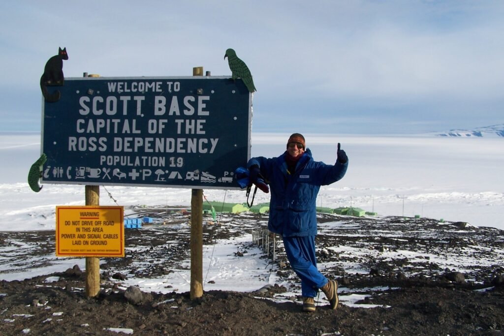
New Zealand’s Scott Base is within walking distance of the relatively giant US McMurdo Station. They sit on the edge of Ross Island, under the world’s southernmost active volcano Mt Erebus. A stretch of ice shelf and sea ice lies between Ross Island and the Transantartcic Mountains of the mainland which can be seen in the distance.
On the seismic survey, our task was to lay down long cables (several kilometres long) across the ice shelf. Every 100m geophones were attached to the cable, and when all was ready, an explosive was detonated that sent the shockwaves down through the ice, underlying sea water and into the bedrock. The reflected shockwaves were then picked up via the geophones, and using some clever computer calculations, cross sections of the geological layers below us could be mapped.
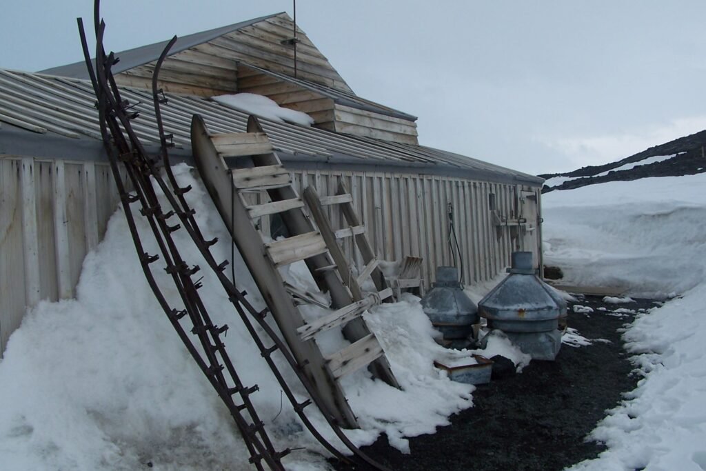
The field work lasted about two or three weeks, but we were also able to visit some of the historic huts (from Shackleton’s and Scott’s heroic era expeditions). These visits for me were unforgettable and profoundly moving experiences. There are shelves of uneaten food, scientific equipment and samples, lanterns, piles of seal blubber, clothing, sleeping bags and even handwritten notes and signatures on the storage boxes and on the walls. The huts are probably the most evocative and atmospheric buildings I have ever visited.