GeoTrips
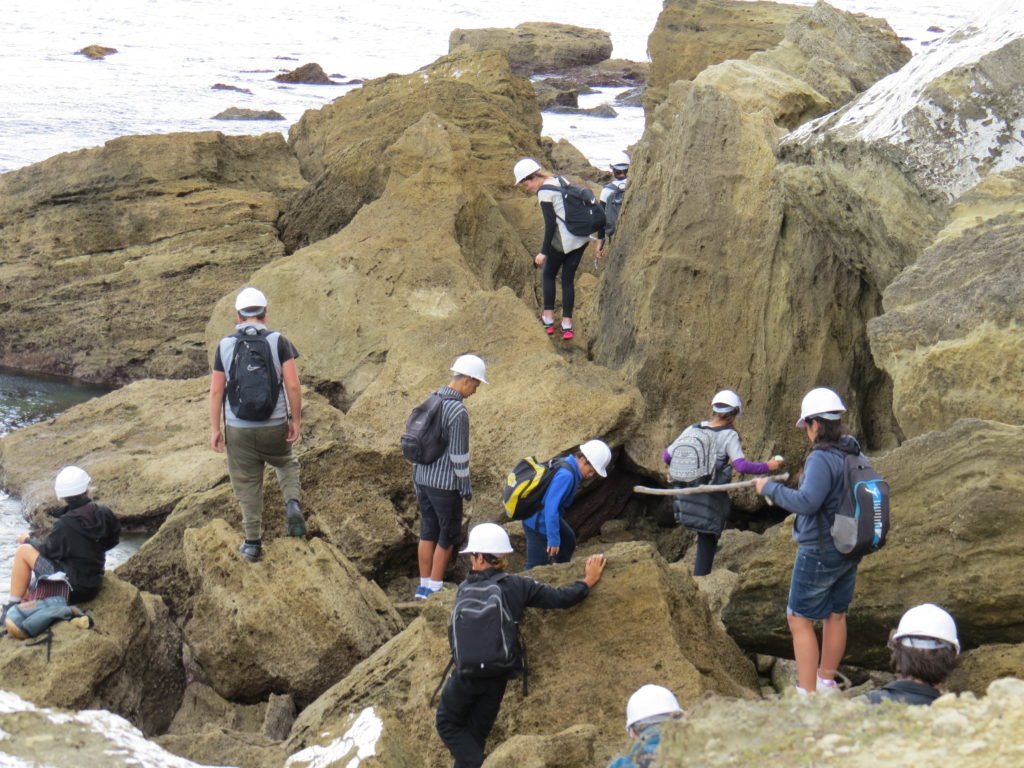
In my 12 years as a science educator at GNS Science I had the opportunity to create or co-create a wide variety of educational resources and events. These included a lot of geology workshops with teachers and schools, including field trips to many locations around the North and South Islands of New Zealand.
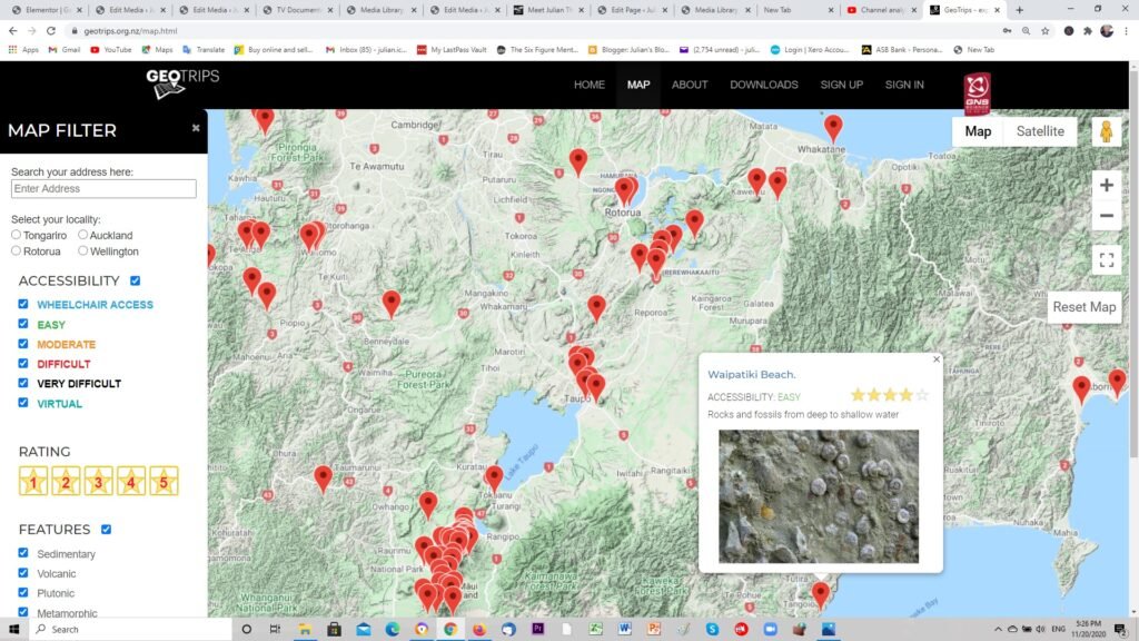
It struck me that there was a real opportunity to put information about different landforms, outcrops and man-made geology related structures onto some sort of online map that could help open the eyes of non-specialists to the wealth of interesting geology and geomorphology around the country.
Over the years many texts and guide books have been written about individual locations or regional geological histories, but they were often hard to find, out of print or don’t give information about where to go to explore. A web map would stay live, could be edited and improved at any time, and seemed the way to go.
GNS Science has supported the creation of GeoTrips, and it also had some seed funding from Statoil’s community fund.
GeoTrips has several hundred locations around the country that are publically accessible and robust enough to cope with foot traffic. They are rated for quality, include a health and safety comment and show images and give background information on the geology of the area. They encourage you to go there, have a look and ask questions about what you are seeing.
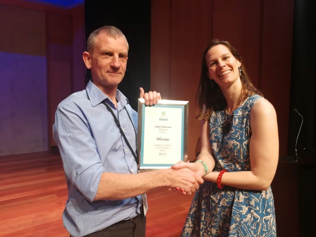
In 2019 I received the Science Communicator’s Association of New Zealand prize for the creation of GeoTrips, but of course it was not without a huge amount of support from GNS, professional scientists and also other enthusiasts who added (and continue to add) the majority of the content voluntarily.
If you like to explore the countryside and investigate its geological secrets, then GeoTrips is for you! www.geotrips.org.nz