The Alpine Fault is divided into several segments based on changes in its tectonic structure and earthquake history along the plate boundary.
The northern end of the Alpine Fault is much less straightforward in comparison to the southern and central sections. This is in the area where other faults of the Marlborough Fault System branch off the Alpine Fault and take up a large amount of the total slip. There is still a lot to find out in terms of their combined earthquake histories and how these faults interact in relation to each other.
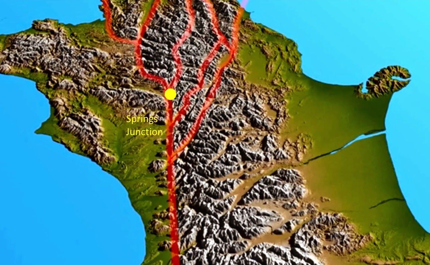
 In 1964, a concrete wall was built across part of a paddock next to the Maruia River, near Springs Junction (see yellow dot on the map above). The wall is 24 metres long, about 1.5 metres high, and at first sight seems pointless, standing alone and unconnected with any other structure. I visited this location recently with Rob Langridge, earthquake scientist at GNS Science, 50 years after the wall was built. If you would like to go there have a look at our GeoTrips website: www.geotrips.org.nz/trip.html?id=59

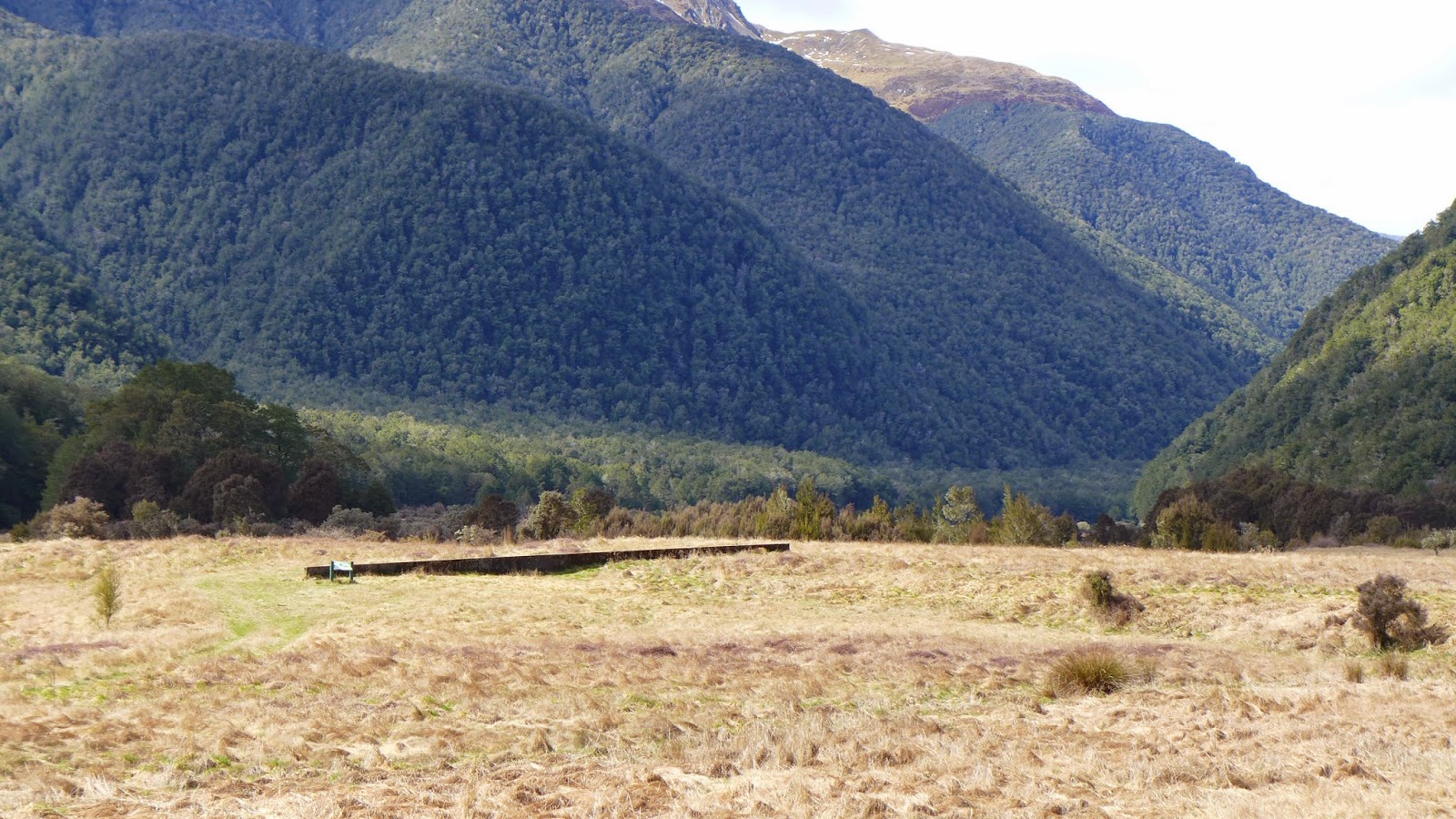
The wall was built directly across the Alpine Fault by scientists who wanted to test whether it would be gradually pulled apart by slow sideways creep along the fault. As you can see – it has suffered no damage due to any gradual movement since it was built.This very clear finding is in accordance with our present understanding that most New Zealand active faults are locked. They do not gradually creep between rupture events, but do all their moving in sudden jumps – during earthquakes.

Right next to the experimental wall, there is an overgrown stream channel that has been offset sideways by about 10 metres along the line of the fault.

Some years ago, a series of pits were excavated to assess the age of the offset river features. In one pit a piece of buried wood was found and then radiocarbon dated, showing that the surface is about 1200 years old. This means that the 10 metre offset has occurred since this time, giving an annual slip rate (rate of movement) of the alpine fault about 8 mm at this location. This compares with about 27mm per year for the central and southern sections of the Alpine Fault, further south.
The last rupture here at Springs Junction in about AD 1600 offset a nearby river terrace by about 1.5 metres. This suggests that at least two earthquakes will have accumulated the 10 metres of offset of the stream channel.
50 years and not even a mm creep? Oh. dear.
Yeah mate, she's gonna blow big time ae. Crazy Steve predicts its gonna be in 2020 sometime ae. The old girls been building up some steam and when she go's she gonna go big.