Raised beach ridges at Tora

Tora is a small rural community on the Wairarapa Coast of the North Island of New Zealand.

Tora shoreline
Tora shoreline.

There are many interesting geological outcrops and landforms in the area. For me the most spectacular of these are in the area of sloping farmland just south of where the inland road meets the coast.

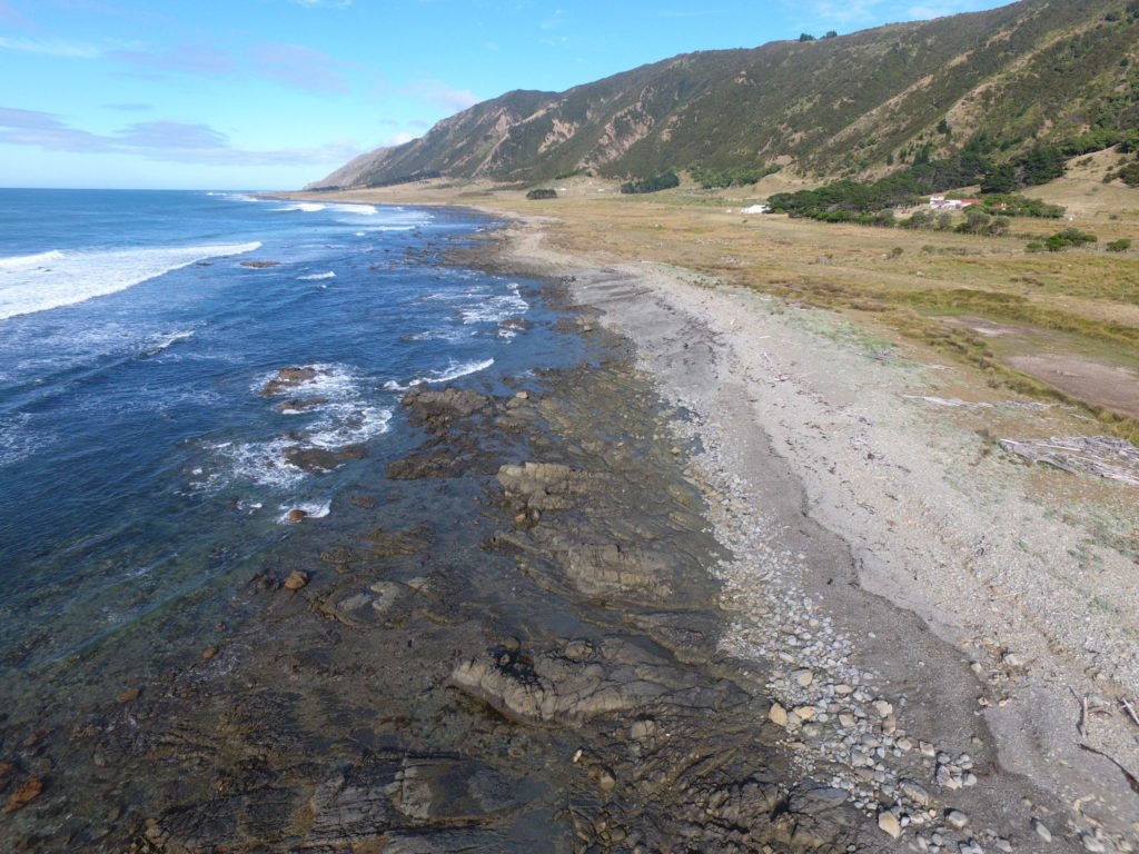
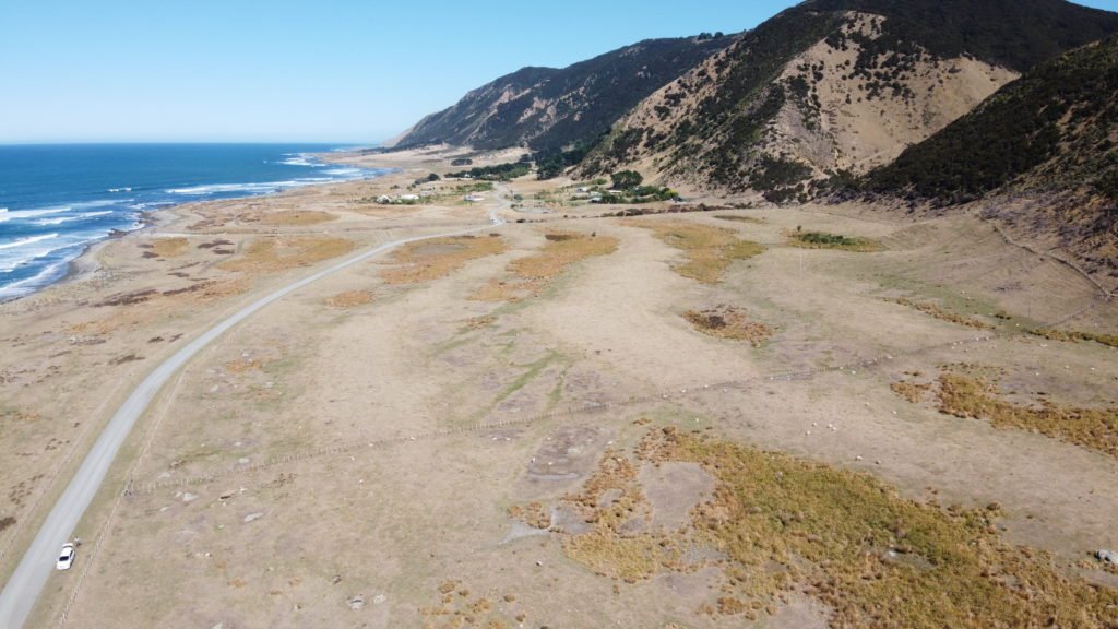
On a recent trip to the area to scope out some school field trips (which were unfortunately cancelled due to the Covid-19 lockdown) I was able to take some images from the air with my drone. They show a series of light and dark parallel stripes running between the shoreline and the steep hillside about 200 to 300 metres inland. The light coloured stripes are ridges, with hollows in between that are picked out by the darker coloured swampy vegetation.

Raised beach ridges at Tora

These ridges were formed during storms along the beach, when large waves heaped up the rocks into a storm ridge just above high tide level. The reason there are several ridges in a sequence is that earthquakes have pushed up the land periodically, causing the active ridge to become isolated above shore level as the sea retreated to start creating a new ridge. This means that the oldest ridge is furthest inland, up against the hillside and the youngest ridge is presently active along the shore. There are at least 6 abandoned ridges that can be identified, with a seventh in the making at the top of the present day beach.

Between the ridges are areas of low lying land that drains poorly, hence the swamp plants within these hollows.

It is believed that the sea was up against the hill slopes about 7,000 years ago so that tells us that there is very roughly one earthquake uplift event every 1000 years.

The fault responsible for these uplifted beach ridges (the Palliser-Kaiwhata fault) is about 5 to 8 km offshore and is about 60km long.It is a reverse fault where the west side (landward side) thrusts up and over the eastern (seaward) side.

Kate Clark of GNS Science sent me this LIDAR image of the area which shows the uplifted beach ridges really clearly. LIDAR is a 3D laser scanning technique that creates images that exclude the vegetation cover and therefore show up the ground surface in incredible detail. The image shows the shoreline from lower left to upper right with the lines of the raised beach ridges between the sea and the prominent hills.

LIDAR image of Tora Coast

Here is a short video I made to explain these features that you may be interested in checking out:

4 thoughts on “Raised Beaches at Tora”

  1. Thanks Julian. Most interesting. We spend time at Tora every summer. I’ll look at those ridges and swamps with fresh eyes now!

  2. Enjoyed the story. Boy the LIDAR image REALLY shows it. Good comparison between what is a bit hard to decern if you are a walkabout geologist, but so evident with our LIDAR studies. Kinda like finding Mayan temples deep in the forests of Belize and Mexico.

Leave a Comment

Your email address will not be published. Required fields are marked *