
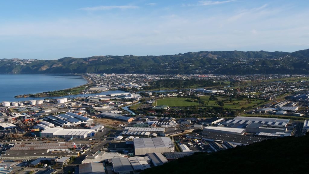
Earthquakes occur on the Wellington Fault approximately every 700 to 1000 years on average, with the last between 170 and 370 years ago. The probability of a rupture in the next 100 years is calculated to be about 10%. Because it runs along the highly populated Hutt Valley and right through the Capital City via its transport bottleneck, it is regarded as one of the country’s highest risk faults.
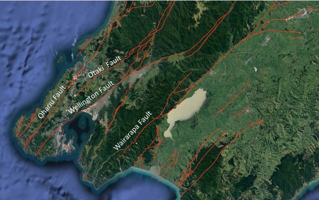
You can find out information about all of New Zealand’s known active faults on the GNS Science Active Faults Database, but in this image you can see a screen grab of those known in the Wellington area, some of them labelled:
As you can see there are many other faults in the region, each of which is capable of rupturing, so that the real possibility of a large earthquake occurring at some point from one or other of the faults is something that should inspire everyone to be prepared. (Make some time to go to https://getready.govt.nz/ )
As you can see there are many other faults in the region, each of which is capable of rupturing, so that the real possibility of a large earthquake occurring at some point from one or other of the faults is something that should inspire everyone to be prepared. (Make some time to go to https://getready.govt.nz/ to get the best information on how to do this.)
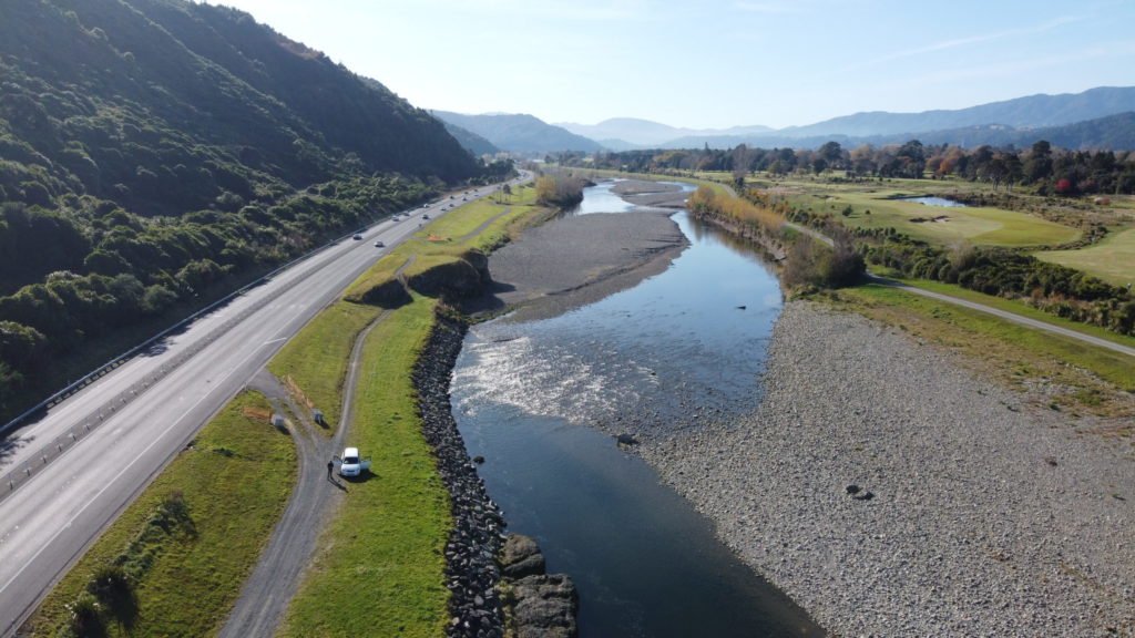
Here is an aerial view of the Wellington Fault trace (bottom right to centre top of the photo) passing through California Park in Upper Hutt and along the centre of California Drive beyond


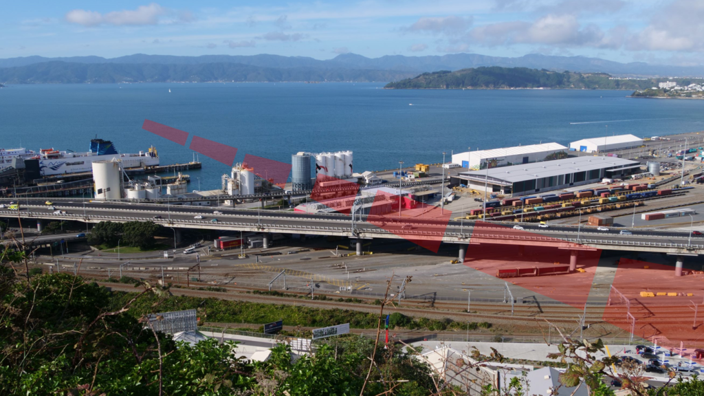
The entrance to Wellington City at Thorndon is a bottleneck, where the Wellington Fault passes underneath the railway, State Highway and Ferry Terminal, as well as the water supply. This makes Wellington vulnerable to being cut off by a rupture of the Wellington Fault.

You can learn more by visiting the Wellington Fault at several points from Upper Hutt to Wellington. Check out this video for details: