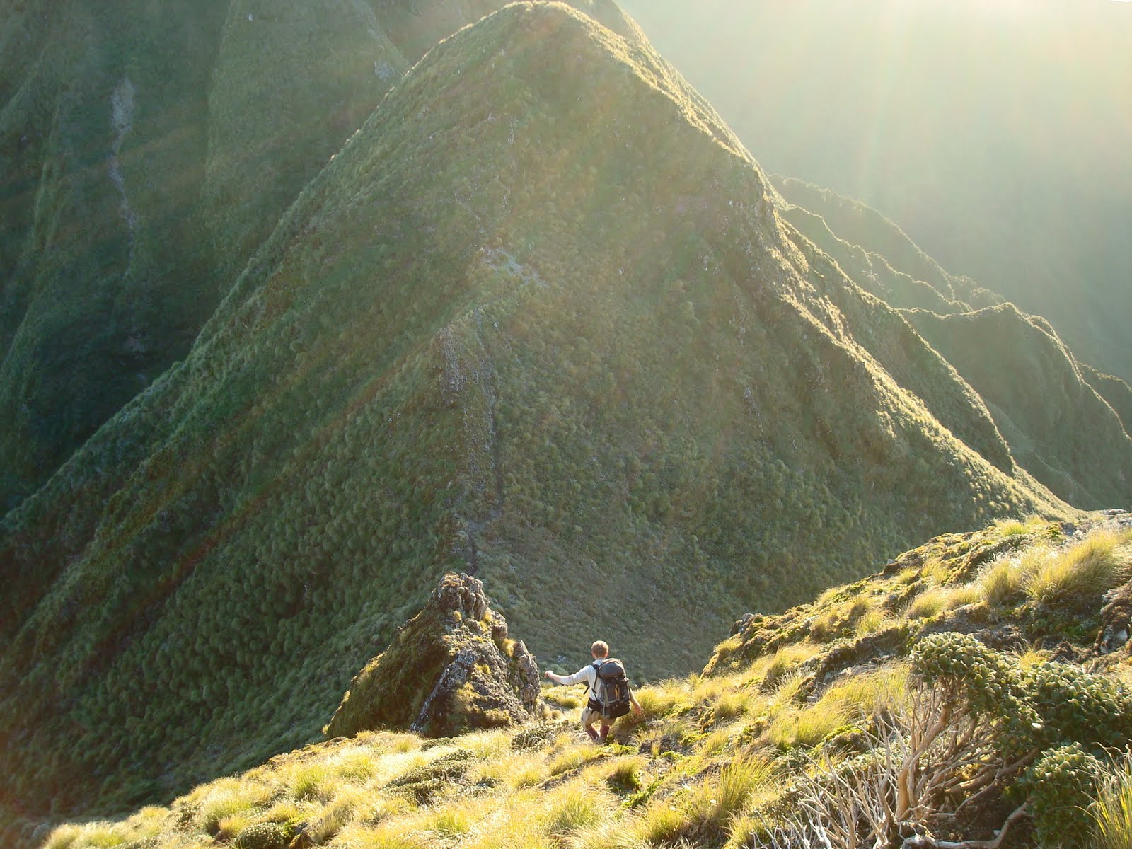
 With Uwe Morgenstern, also from GNS Science I hiked the length of the Tararuas just north of Wellington over 4 days. The Tararua mountains are a section of the ‘backbone’ of New Zealand. They are made of greywacke rock, pushed up by the tectonic forces of plate collision. Like most of New Zealand’s mountains, they form an obstruction at right angles to the prevailing westerly winds and are renowned for high winds and high rainfall – often making for tough tramping. Luckily for our trip we had very stable and clear conditions, a rare treat!
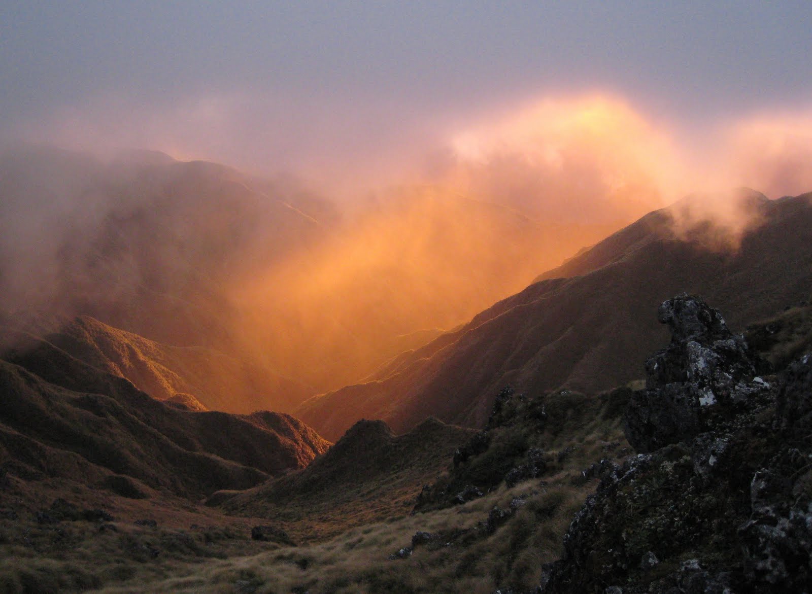 We set out from the Putara road end near to Ekatahuna, at about 9am. After following a stream and hiking upwards in the forest, we came out into the open tussock after a couple of hours. It was quite cloudy through the day. This made for an amazing sunset as we continued along the ridge to Arete Hut which we reached after dark. For the final hour and a half we had to navigate by map and compass, with a bit of searching to finally reach our refuge for the night.
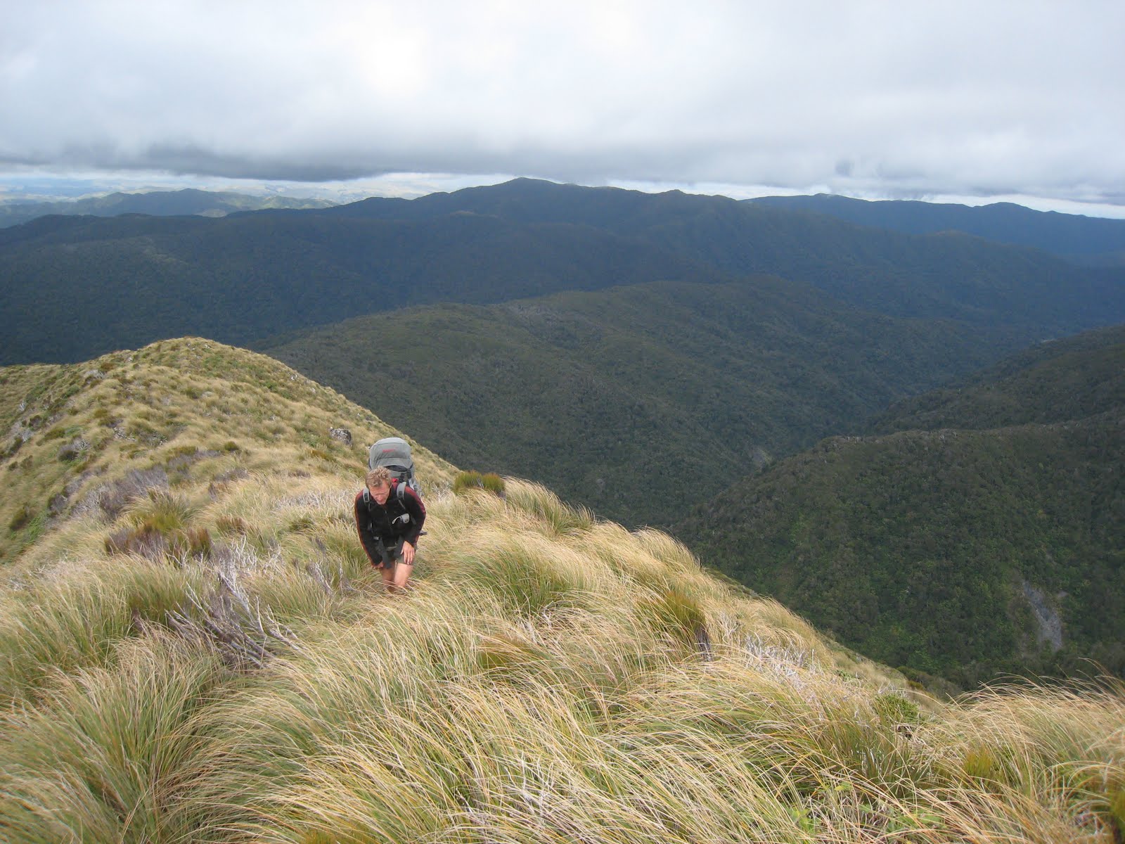
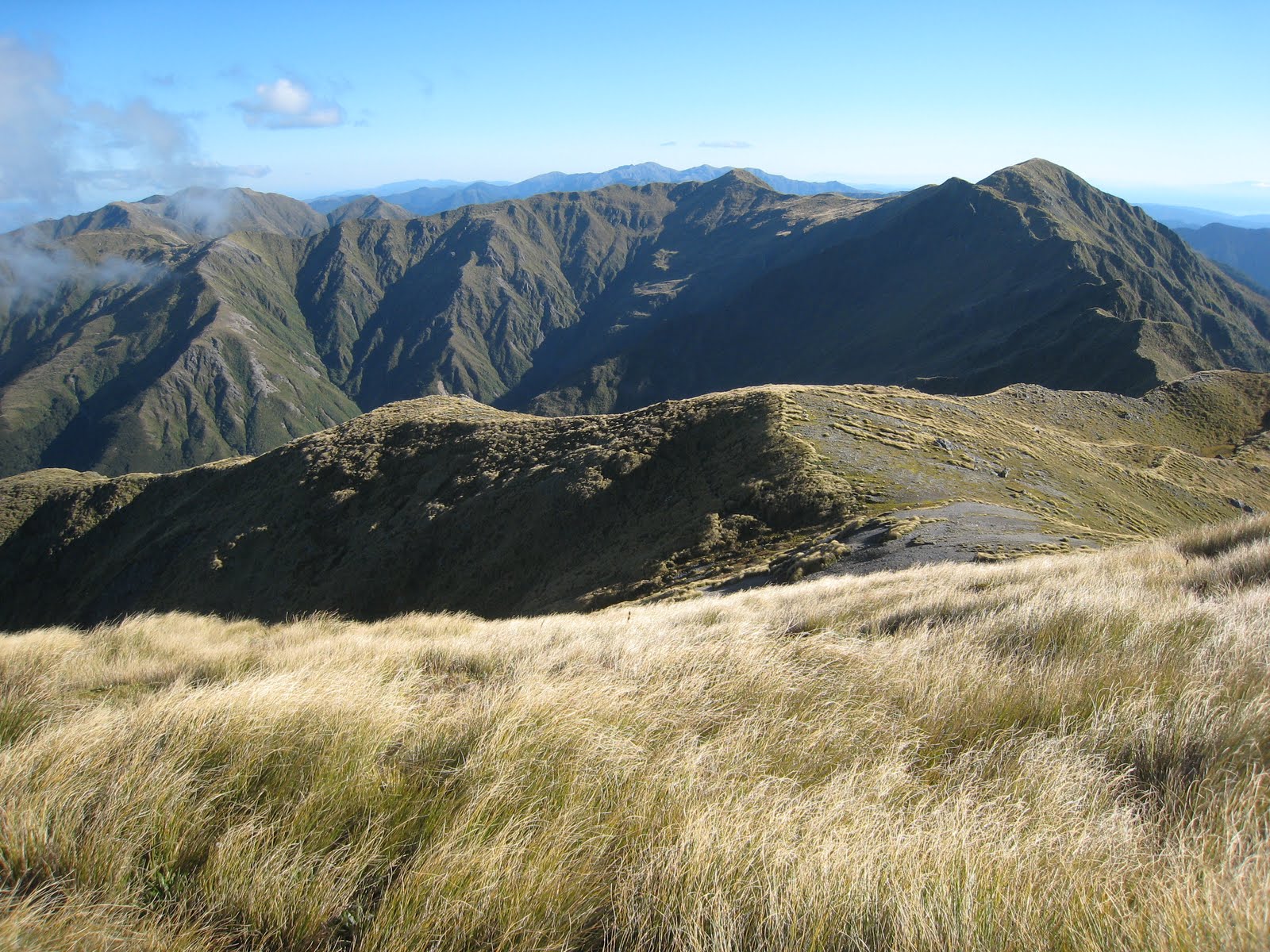 Day 2 saw us following the ridge for hour after hour. the distant point on the horizon was our objective for the night and again we reached Jumbo Hut after dark.
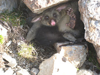
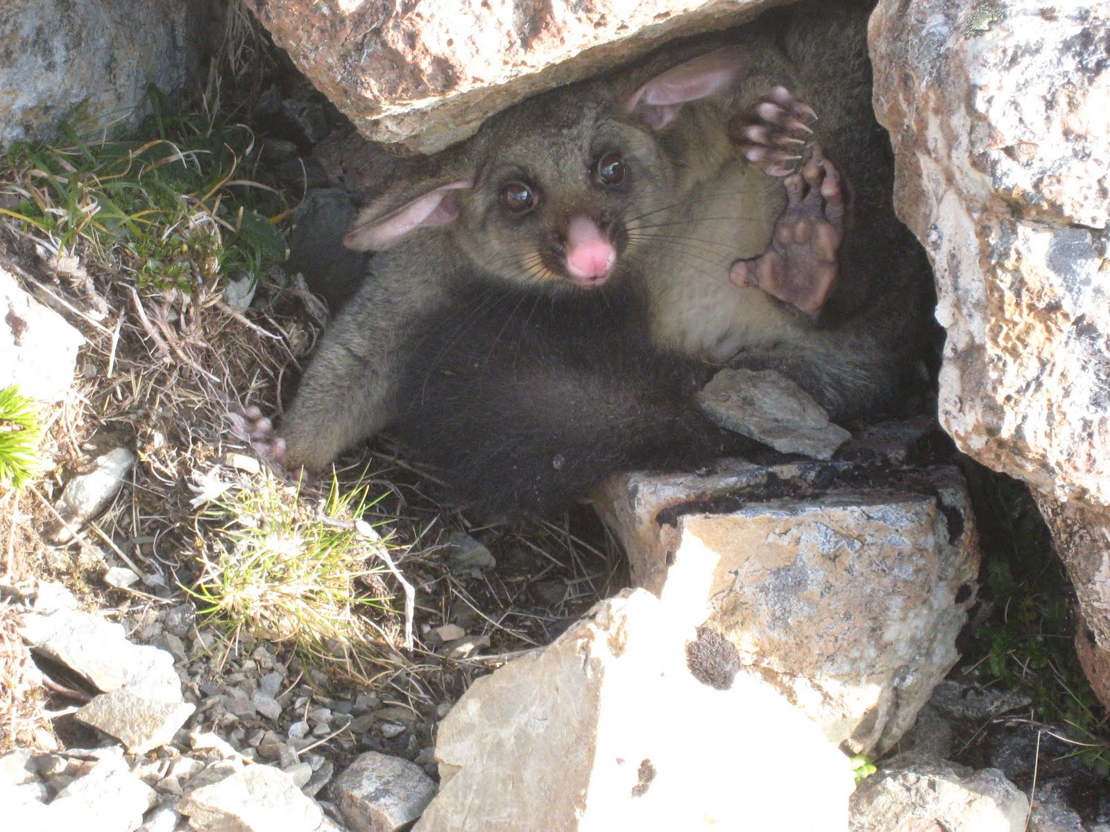 We passed by this possum that seemed to have lost its way and was hiding under a rock well above the tree line.
Day 3 was our longest day. Leaving Jumbo hut at about 7am, we traversed to Mount Holdworth, then dropped down through the forest to the Mid Waohine Hut which we reached at about 11am. After a very brief dip in the river, a long and exhausting climb saw us back on the tops further to the West. From Aokaporangi Peak we headed to Maungahuka Hut which we reached about 5pm. After a short break we decided to keep going in order to be able to complete our traverse in time for work on Monday.
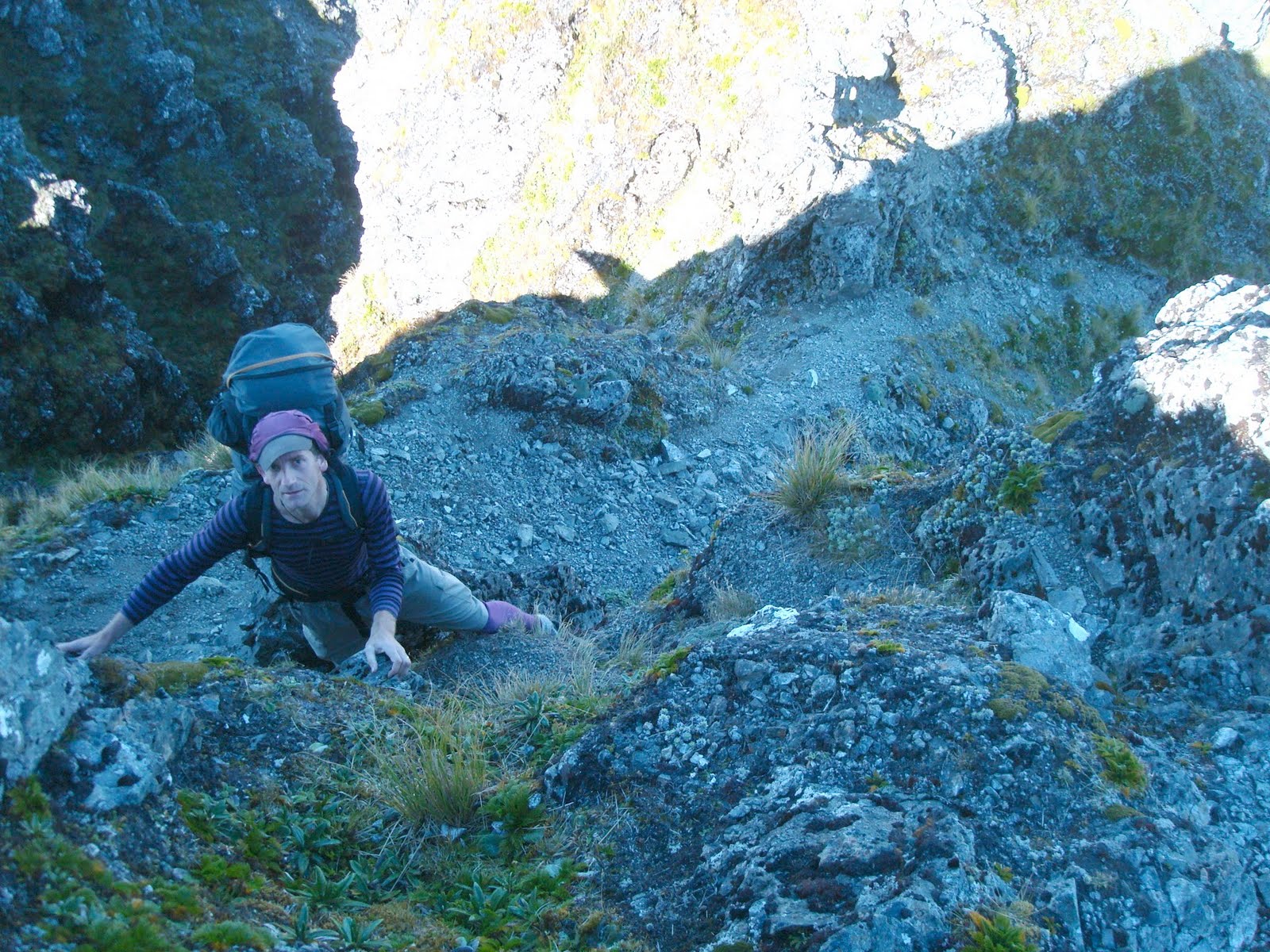 As fast as possible we dashed over the Tararua Peaks – very steep ground which we didn’t fancy attempting in the dark. Soon we were beyond them and darkness was upon us. Four hours of arduous tramping by headtorch we arrived at Kime Hut and the end of a fifteen hour day.
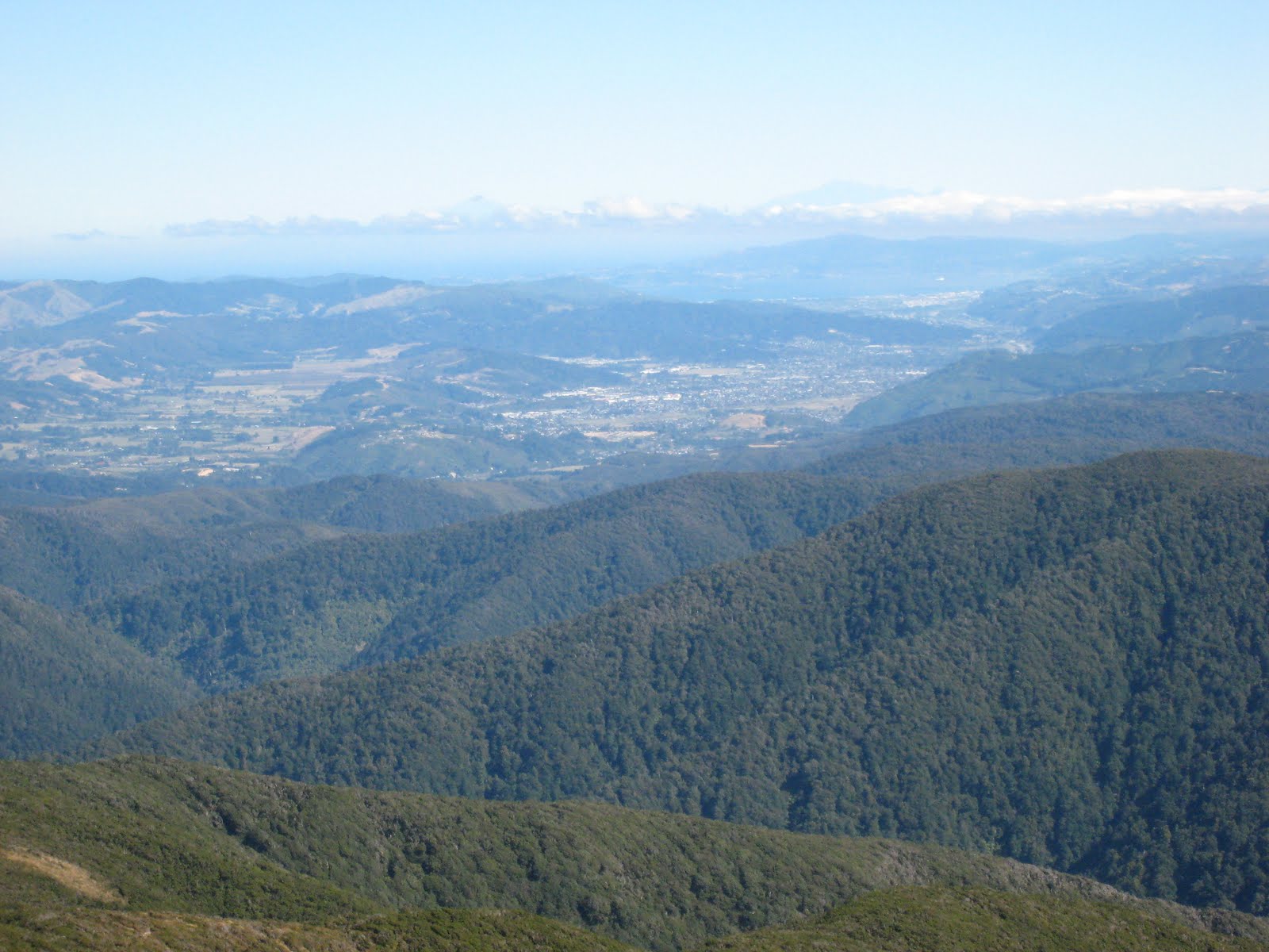
All that was left was to complete the Southern Crossing of the Tararuas, over Mount Hector and down the less travelled Quoine Ridge. The views in all directions were spectacular, including Taranaki and Ruapehu volcanoes, our own route through the Tararuas, the Wairarapa Plains, Palliser Bay, the Rimutaka Ranges, Wellington Harbour and the Kaikoura Ranges of the South Island.
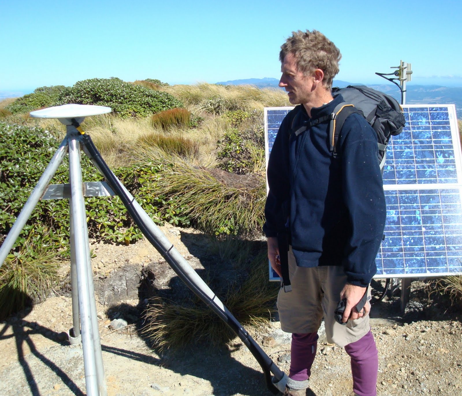 Just above the tree line we came to this GNS Science continuous GPS station cemented into the bedrock. This device is part of a nationwide network that continuously monitors the horizontal and vertical displacement of New Zealand on its plate boundary.
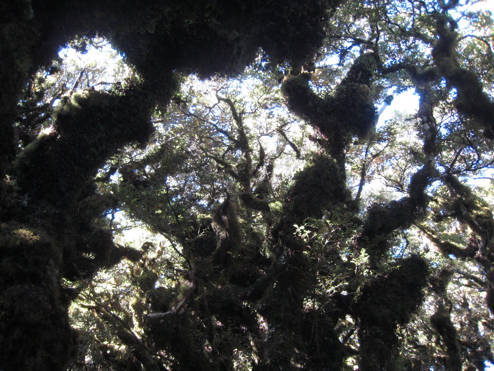 As we descended, we entered the Goblin Forest – a wierd world of beech trees covered with mosses and lichens. Finally by 5pm we arrived at our awaiting vehicle and the prospect of a very satisfying rest.
