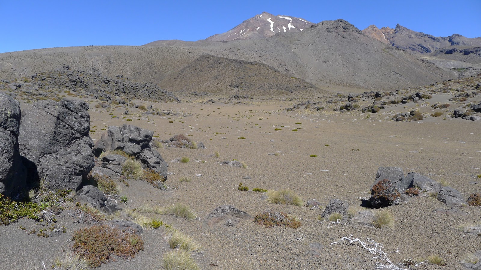
 On my way back to civilisation from Tama Lakes, I decided to take a detour to visit Saddle Cone, ( GeoTrip page here: www.geotrips.org.nz/trip.html?id=53 ) a small isolated crater on the northern slopes of Ruapehu. You can see the tilted rim of the cone in the centre of the photo:
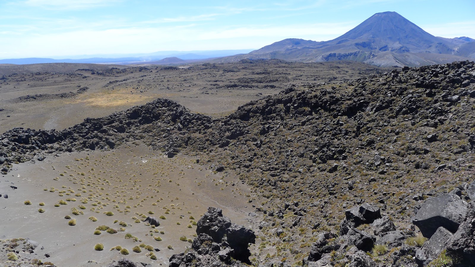
The second image is looking into the crater of Saddle Cone, which is about 100 metres across.
In spite of its small dimensions, Saddle Cone produced a huge lava field that spreads out over an area of several square kilometres. These lava flows are visible in the distance.
On the right side of this photo you can see a moraine ridge, showing that this valley was glaciated until about 10 000 years ago. This provides a maximum age for these lava flows, and many others in Tongariro National Park’s glaciated valleys.
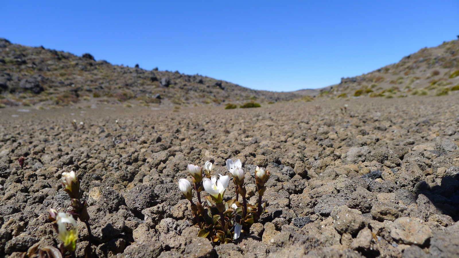
Hot arid summers, and freezing blizzards in winter are not too much for hardy alpine plants such as these:
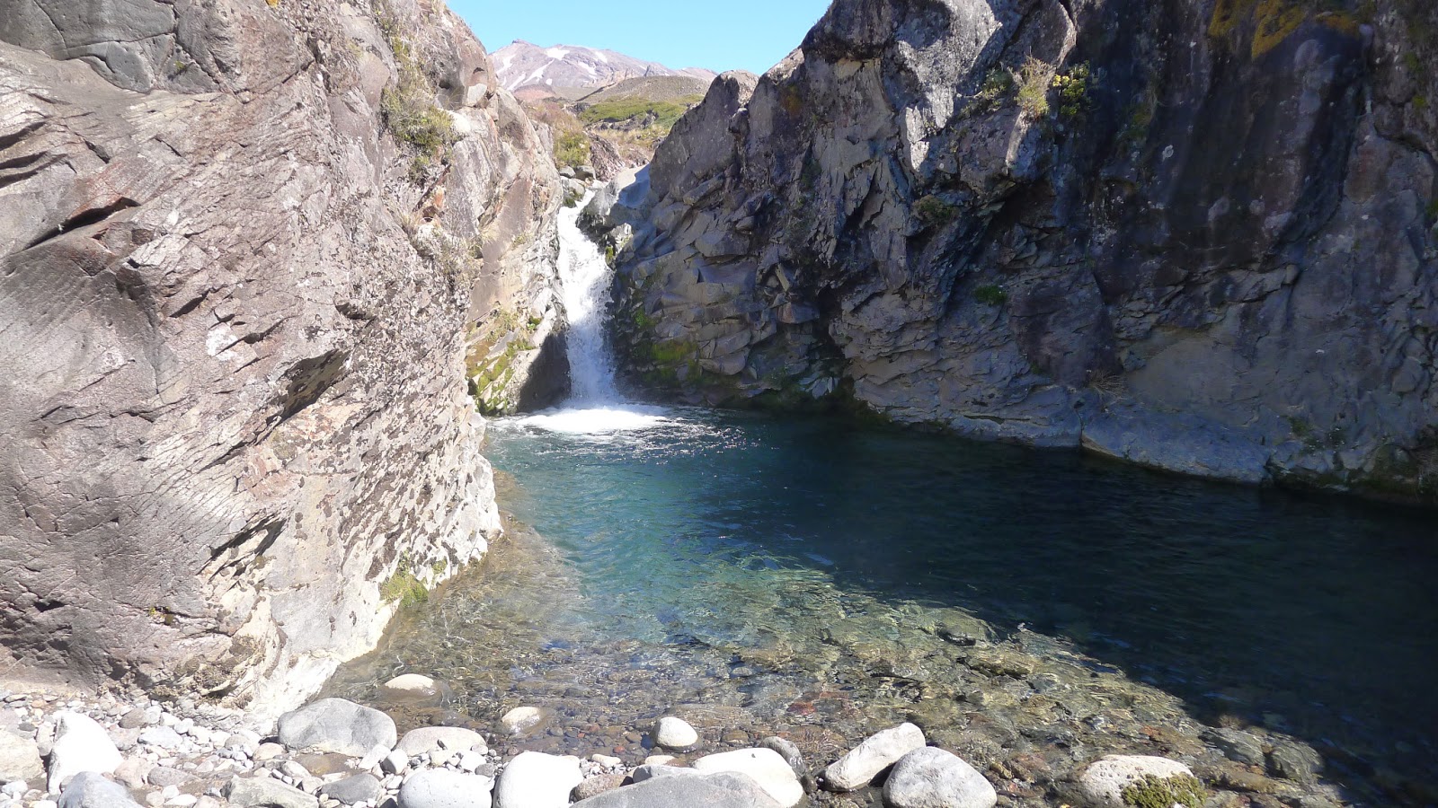
After several hours of wandering the semi-desert of the Tama Saddle, I descended to a river less than an hour from the road – a perfect oasis to end my hike on the mountain.